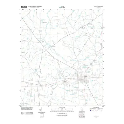
2011 Map of Claxton
USGS Topo · Published 2011About this map
The Canoochee River winds through this landscape, providing a central artery for the settlements of Claxton and Hagan in the early 21st century. The map reveals a region defined by water management and agricultural heritage, featuring numerous named ponds such as Big Beasley Pond, Sikes Pond, and Shuman Ponds. The presence of Perkins Mill and multiple crossings like Brewton Bridge and Hendrix Bridge indicates a historically rooted local infrastructure that supported the movement of goods and people across the river basin.
Find a feature on this map
119 named features on this map. Tap any name to fly to it.
Don’t see what you’re looking for? This feature index may not catch every label — zoom into the map to look around manually.
Map Details
Editions of this 2011 Claxton Map
This is the sole edition of this map. No revisions or reprints were ever made.
Other maps of this area

1919 · Claxton
USGS Topo · 1:62,500

1920 · Statesboro
USGS Topo · 1:62,500

1943 · Statesboro
USGS Topo · 1:62,500

1944 · Claxton
USGS Topo · 1:62,500

1947 · Savannah
USGS Topo · 1:250,000

1948 · Savannah
USGS Topo · 1:250,000

1950 · Claxton
USGS Topo · 1:62,500

1957 · Macon
USGS Topo · 1:250,000

1957 · Savannah
USGS Topo · 1:250,000

1958 · Macon
USGS Topo · 1:250,000