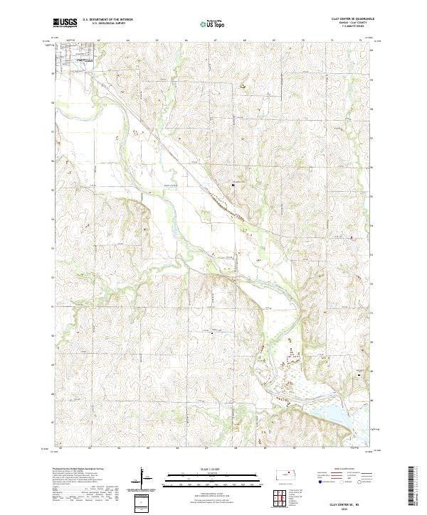
2022 Map of Clay Center SE
USGS Topo · Published 2022About this map
The southeast outskirts of Clay Center anchor this landscape where the meandering Republican River dictates the local geography. This 2022 survey illustrates the transition from the city’s grid—including Bridge St and Maple St—into the section-line road network of Clay County. The terrain is defined by the drainage basins of several watercourses, most notably Otter Cr and Cane Creek, which carve through the plains.
Find a feature on this map
40 named features on this map. Tap any name to fly to it.
Don’t see what you’re looking for? This feature index may not catch every label — zoom into the map to look around manually.
Map Details
Editions of this 2022 Clay Center SE Map
This is the sole edition of this map. No revisions or reprints were ever made.
Other maps of this area

1886 · Junction City
USGS Topo · 1:125,000

1889 · Junction City
USGS Topo · 1:125,000

1891 · Clay Center
USGS Topo · 1:125,000

1894 · Junction City
USGS Topo · 1:125,000

1947 · Fort Riley
USGS Topo · 1:62,500

1951 · Milford
USGS Topo · 1:24,000

1955 · Milford
USGS Topo · 1:24,000

1955 · Manhattan
USGS Topo · 1:250,000

1956 · Manhattan
USGS Topo · 1:250,000

1957 · Manhattan
USGS Topo · 1:250,000