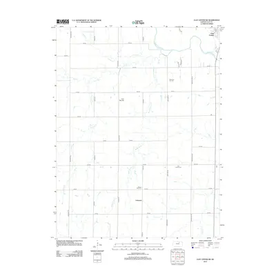
2012 Map of Clay Center SW
USGS Topo · Published 2012About this map
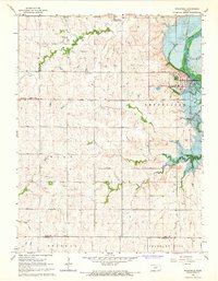
The Republican River meanders across the northern portion of this landscape, just downstream from where it meets the outskirts of Clay Center. This agricultural region is defined by a systematic grid of section-line roads, including Kiowa Rd and Limestone Rd, which connect scattered homesteads and local landmarks. The southern reaches of the map center on the settlement of Ladysmith, while the central terrain is marked by the distinctive Twin Mounds.
Find a feature on this map
30 named features on this map. Tap any name to fly to it.
Don’t see what you’re looking for? This feature index may not catch every label — zoom into the map to look around manually.
Map Details
Editions of this 2012 Clay Center SW Map
This is the sole edition of this map. No revisions or reprints were ever made.
Other maps of this area

1891 · Clay Center
USGS Topo · 1:125,000

1955 · Manhattan
USGS Topo · 1:250,000

1956 · Manhattan
USGS Topo · 1:250,000

1957 · Manhattan
USGS Topo · 1:250,000
1964 · Industry
USGS Topo · 1:24,000

1964 · Clay Center NW
USGS Topo · 1:24,000

1964 · Clay Center SW
USGS Topo · 1:24,000
1964 · Clay Center SE
USGS Topo · 1:24,000
1964 · Clay Center NE
USGS Topo · 1:24,000
1964 · Wakefield
USGS Topo · 1:24,000