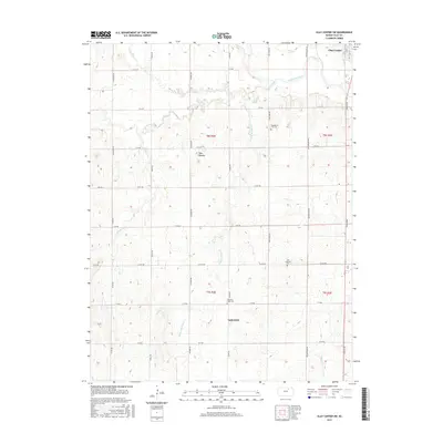
2015 Map of Clay Center SW
USGS Topo · Published 2015About this map
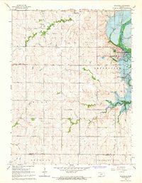
The Republican River winds through the northern reaches of this Kansas landscape, defining the topography south of Clay Center. This area of Clay County is characterized by a dense network of sectional roads and a series of drainage systems, including Five Creek and its many tributaries like Reeder Br Five Cr and N Br Five Cr. The agricultural character of the region is evident in the scattered settlements and community landmarks that anchor the rural sections.
Find a feature on this map
36 named features on this map. Tap any name to fly to it.
Don’t see what you’re looking for? This feature index may not catch every label — zoom into the map to look around manually.
Map Details
Editions of this 2015 Clay Center SW Map
This is the sole edition of this map. No revisions or reprints were ever made.
Other maps of this area

1891 · Clay Center
USGS Topo · 1:125,000

1955 · Manhattan
USGS Topo · 1:250,000

1956 · Manhattan
USGS Topo · 1:250,000

1957 · Manhattan
USGS Topo · 1:250,000
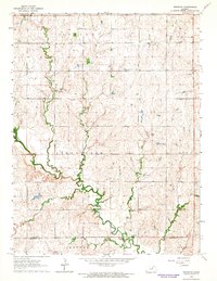
1964 · Industry
USGS Topo · 1:24,000

1964 · Clay Center NW
USGS Topo · 1:24,000

1964 · Clay Center SW
USGS Topo · 1:24,000
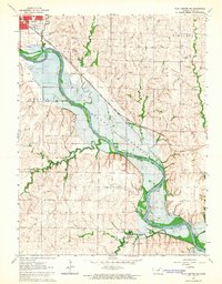
1964 · Clay Center SE
USGS Topo · 1:24,000
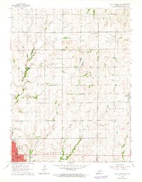
1964 · Clay Center NE
USGS Topo · 1:24,000
1964 · Wakefield
USGS Topo · 1:24,000