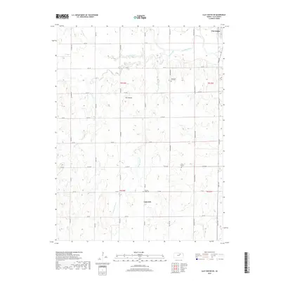
2018 Map of Clay Center SW
USGS Topo · Published 2018About this map
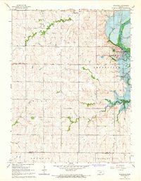
Republican River waters dominate the northeast corner of this Kansas landscape, where the southern outskirts of Clay Center meet a network of rural roads and drainage systems. This 2018 survey reveals a primarily agricultural region defined by the intricate branching of Five Creek and its many tributaries, including N Br Five Cr and Reeder Br Five Cr. The topography is marked by distinct landmarks such as Twin Mounds and the winding course of Otter Cr. For those tracing local history, the map identifies small rural clusters like Ladysmith and preserves the locations of several community burial grounds. These include the Republican City Cem, Zion Lutheran Cem, and Pleasant Ridge Cem, providing essential geographic context for the settlements and families that have inhabited this part of Clay County for generations.
Find a feature on this map
38 named features on this map. Tap any name to fly to it.
Don’t see what you’re looking for? This feature index may not catch every label — zoom into the map to look around manually.
Map Details
Editions of this 2018 Clay Center SW Map
This is the sole edition of this map. No revisions or reprints were ever made.
Other maps of this area

1891 · Clay Center
USGS Topo · 1:125,000

1955 · Manhattan
USGS Topo · 1:250,000

1956 · Manhattan
USGS Topo · 1:250,000

1957 · Manhattan
USGS Topo · 1:250,000
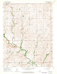
1964 · Industry
USGS Topo · 1:24,000

1964 · Clay Center NW
USGS Topo · 1:24,000

1964 · Clay Center SW
USGS Topo · 1:24,000
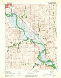
1964 · Clay Center SE
USGS Topo · 1:24,000
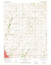
1964 · Clay Center NE
USGS Topo · 1:24,000
1964 · Wakefield
USGS Topo · 1:24,000