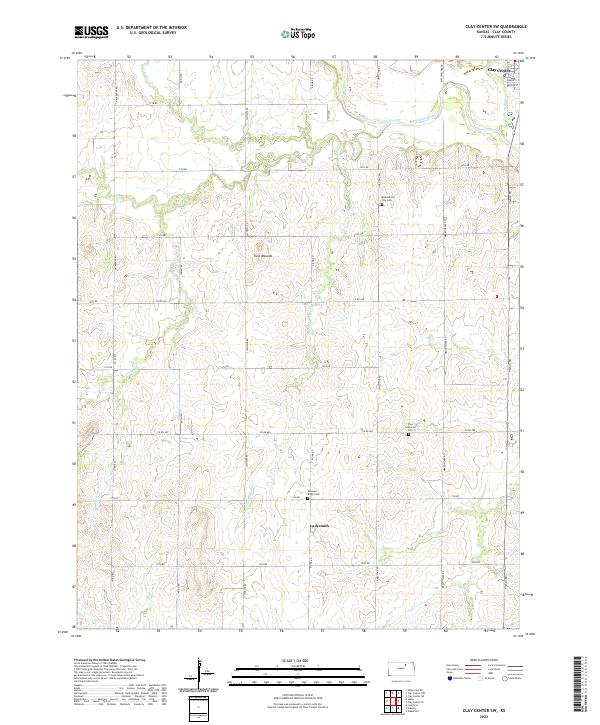
2022 Map of Clay Center SW
USGS Topo · Published 2022About this map
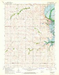
The agrarian landscape of Clay County unfolds south of Clay Center, where the terrain is defined by the drainage of the N Br Five Cr. This 2022 survey captures the modern rural structure of the region, anchored by the small settlement of Ladysmith and a network of gravel and paved thoroughfares like Meadowlark Rd. The map illustrates how local section lines continue to govern the organization of this Kansas prairie, providing a detailed look at the rural property boundaries and farmstead locations that have persisted through generations of family farming.
Find a feature on this map
4 named features on this map. Tap any name to fly to it.
Don’t see what you’re looking for? This feature index may not catch every label — zoom into the map to look around manually.
Map Details
Editions of this 2022 Clay Center SW Map
This is the sole edition of this map. No revisions or reprints were ever made.
Other maps of this area

1891 · Clay Center
USGS Topo · 1:125,000

1955 · Manhattan
USGS Topo · 1:250,000

1956 · Manhattan
USGS Topo · 1:250,000

1957 · Manhattan
USGS Topo · 1:250,000
1964 · Industry
USGS Topo · 1:24,000

1964 · Clay Center NW
USGS Topo · 1:24,000

1964 · Clay Center SW
USGS Topo · 1:24,000
1964 · Clay Center SE
USGS Topo · 1:24,000
1964 · Clay Center NE
USGS Topo · 1:24,000
1964 · Wakefield
USGS Topo · 1:24,000