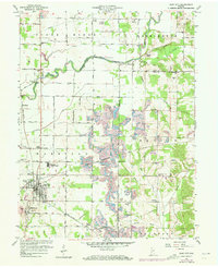
1957 Map of Clay City
USGS Topo · Published 1973About this map
Clay City serves as the focal point of this 1950s Indiana landscape, situated at the intersection of a developing road network and the Penn Central rail line. The map reveals a transition in land use, where traditional agricultural townships like Harrison and Marion meet the expanding footprint of industrial strip mines in the south. The meandering path of the Eel River and its tributaries, such as Turkey Creek and Sixmile Creek, define the topography and drainage of the region.
Find a feature on this map
45 named features on this map. Tap any name to fly to it.
Don’t see what you’re looking for? This feature index may not catch every label — zoom into the map to look around manually.
Map Details
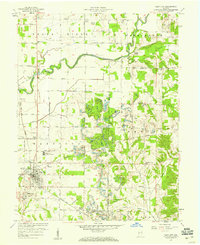
Editions of this 1957 Clay City Map
2 editions found
Other maps of this area

1908 · Clay City
USGS Topo · 1:48,000

1908 · Bloomfield
USGS Topo · 1:62,500

1910 · Clay City
USGS Topo · 1:62,500

1938 · Coal City
USGS Topo · 1:24,000

1940 · Jasonville
USGS Topo · 1:24,000

1948 · Coal City
USGS Topo · 1:24,000

1950 · Arney
USGS Topo · 1:24,000
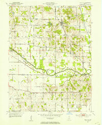
1953 · Coal City
USGS Topo · 1:24,000

1953 · Indianapolis
USGS Topo · 1:250,000

1956 · Indianapolis
USGS Topo · 1:250,000