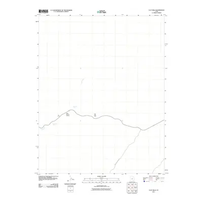
2011 Map of Clay Hills
USGS Topo · Published 2011About this map
Clay Hills Pass and the surrounding high desert of San Juan County are documented in this 2011 topographic study. The landscape is defined by its seasonal water sources and deep geological incisions, including Steer Pasture Canyon and the prominent landmark known as The Castle. Evidence of remote desert travel is found along Whirlwind Crossing Rd, while vital water points like Irish Green Spring and Green Water Spring offer insights into the hydrology that once supported movement through this arid corridor. Castle Creek winds through the northern portion of the quadrangle, illustrating the drainage patterns of the western Colorado Plateau at the start of the twenty-first century.
Find a feature on this map
7 named features on this map. Tap any name to fly to it.
Don’t see what you’re looking for? This feature index may not catch every label — zoom into the map to look around manually.
Map Details
Editions of this 2011 Clay Hills Map
This is the sole edition of this map. No revisions or reprints were ever made.
Other maps of this area

1886 · Henry Mountains
USGS Topo · 1:250,000

1892 · Henry Mountains
USGS Topo · 1:250,000

1952 · Mancos Mesa
USGS Topo · 1:62,500

1952 · Natural Bridges
USGS Topo · 1:62,500

1954 · White Canyon 3 SE
USGS Topo · 1:24,000

1954 · White Canyon 4 SW
USGS Topo · 1:24,000

1954 · White Canyon 3 SW
USGS Topo · 1:24,000

1954 · Clay Hills 2 SW
USGS Topo · 1:24,000

1954 · Clay Hills 2 NW
USGS Topo · 1:24,000

1954 · Clay Hills 2 NE
USGS Topo · 1:24,000