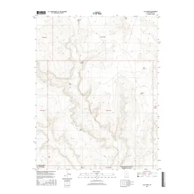
2017 Map of Clay Point
USGS Topo · Published 2017About this map
Capitol Reef Nat Park and the Glen Canyon National Recreation Area meet in this 2017 survey of the high desert of Garfield County. The landscape is defined by its dramatic erosion, where the Burr Trl winds through the complex topography of Fourmile Canyon and past the high vantage of Hall Mesa. This area is part of a vast drainage network that includes Bullfrog Cr and Saleratus Wash, which feed into the Colorado River basin to the south.
Find a feature on this map
21 named features on this map. Tap any name to fly to it.
Don’t see what you’re looking for? This feature index may not catch every label — zoom into the map to look around manually.
Map Details
Editions of this 2017 Clay Point Map
This is the sole edition of this map. No revisions or reprints were ever made.
Other maps of this area

1886 · Henry Mountains
USGS Topo · 1:250,000

1892 · Henry Mountains
USGS Topo · 1:250,000

1952 · Mt Pennell 1 SW
USGS Topo · 1:24,000

1952 · Mt Hillers
USGS Topo · 1:62,500

1953 · Mt Pennell
USGS Topo · 1:62,500

1953 · Mt Pennell 2 SE
USGS Topo · 1:24,000

1953 · Mt Pennell 3 NW
USGS Topo · 1:24,000

1953 · Mt Pennell 3 SW
USGS Topo · 1:24,000

1953 · Mt Pennell 2 SW
USGS Topo · 1:24,000

1953 · Mt. Ellsworth
USGS Topo · 1:62,500