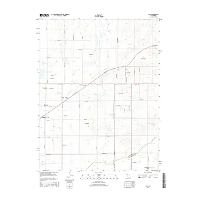
2015 Map of Clay
USGS Topo · Published 2015About this map
The Sacramento Co San Joaquin Co border defines the southern extent of this agricultural landscape, where the Sacramento Central Valley transitions through a network of creeks and modern infrastructure. Small settlements like Clay and Herald are connected by a grid of rural roads, including Twin Cities Rd and Clay Station Rd, which segment the terrain into large parcels. A primary engineering feature of the region is the Folsom South Canal, which cuts north-to-south across the drainage of Hadselville Cr and Griffith Cr. The landscape is further characterized by drainage features like Rolling Draw and Windmill Draw, alongside more established waterways such as Dry Creek and Coyote Cr. This survey illustrates the mid-2010s state of land use in the valley, where private aviation at Bottimore Ranch Airport and residential developments like Clay Meadows exist alongside traditional ranching and water management systems.
Find a feature on this map
64 named features on this map. Tap any name to fly to it.
Don’t see what you’re looking for? This feature index may not catch every label — zoom into the map to look around manually.
Map Details
Editions of this 2015 Clay Map
This is the sole edition of this map. No revisions or reprints were ever made.
Other maps of this area

1894 · Lodi
USGS Topo · 1:125,000

1908 · Lockeford
USGS Topo · 1:31,680

1909 · Elk Grove
USGS Topo · 1:31,680

1909 · Carbondale
USGS Topo · 1:31,680

1909 · Clay
USGS Topo · 1:31,680

1909 · Cosumnes
USGS Topo · 1:31,680

1909 · Goose Creek
USGS Topo · 1:31,680

1909 · Clements
USGS Topo · 1:31,680

1910 · Woodbridge
USGS Topo · 1:31,680

1910 · Galt
USGS Topo · 1:31,680