2018 Map of Clay
USGS Topo · Published 2018About this map
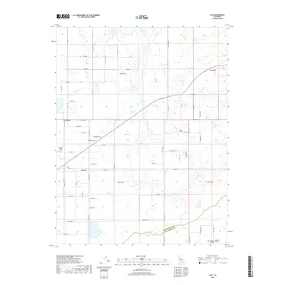
Clay and Herald anchor this rural landscape in the Central Valley, where the intersection of agriculture and modern water management is clearly visible. The massive Folsom South Canal cuts a straight path north-to-south across the terrain, contrasting with the natural, meandering courses of Badger Cr and Hadselville Cr. This area is defined by its grid of named country roads, such as Alta Mesa Rd and Simmerhorn Rd, which reflect the long-standing land divisions and township boundaries of the region.
Find a feature on this map
63 named features on this map. Tap any name to fly to it.
Don’t see what you’re looking for? This feature index may not catch every label — zoom into the map to look around manually.
Map Details
Editions of this 2018 Clay Map
This is the sole edition of this map. No revisions or reprints were ever made.
Other maps of this area

1894 · Lodi
USGS Topo · 1:125,000

1908 · Lockeford
USGS Topo · 1:31,680

1909 · Elk Grove
USGS Topo · 1:31,680

1909 · Carbondale
USGS Topo · 1:31,680

1909 · Clay
USGS Topo · 1:31,680

1909 · Cosumnes
USGS Topo · 1:31,680

1909 · Goose Creek
USGS Topo · 1:31,680

1909 · Clements
USGS Topo · 1:31,680

1910 · Woodbridge
USGS Topo · 1:31,680

1910 · Galt
USGS Topo · 1:31,680