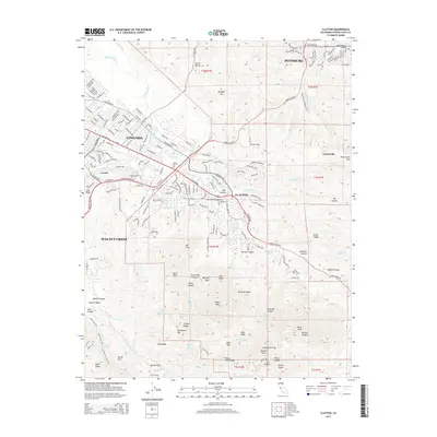
2015 Map of Clayton
USGS Topo · Published 2015About this map
The northern slopes of Mount Diablo dominate this landscape, where the suburban edges of Concord and Pittsburg meet the protected wilderness of the East Bay. The historic town of Clayton serves as a gateway to this transition between developed valley floor and steep ridges. Traces of the region's earlier industrial and rural history are visible in labels like Cowell, the site of a former cement plant and company town, and Nortonville, a vestige of the 19th-century Mount Diablo coal field.
Find a feature on this map
81 named features on this map. Tap any name to fly to it.
Don’t see what you’re looking for? This feature index may not catch every label — zoom into the map to look around manually.
Map Details
Editions of this 2015 Clayton Map
This is the sole edition of this map. No revisions or reprints were ever made.
Other maps of this area

1896 · Carquinez Strait
USGS Topo · 1:62,500

1896 · Mt. Diablo
USGS Topo · 1:62,500

1897 · Concord
USGS Topo · 1:62,500

1898 · Karquines
USGS Topo · 1:62,500

1898 · Mt. Diablo
USGS Topo · 1:62,500

1901 · Karquines
USGS Topo · 1:62,500

1902 · Napa
USGS Topo · 1:125,000

1907 · Antioch
USGS Topo · 1:62,500

1908 · Antioch
USGS Topo · 1:62,500

1915 · Concord
USGS Topo · 1:62,500