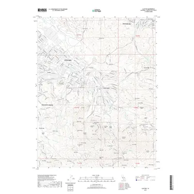
2018 Map of Clayton
USGS Topo · Published 2018About this map
The dramatic rise of the Diablo Range dominates this landscape, culminating at the iconic peak of Mt Diablo. From this high point, the terrain drops through complex ridges and canyons such as Mitchell Canyon and Donner Canyon, where numerous springs like Peach-Tree Springs and Moses Rock Spring feed the local watershed. The transition from these high wilderness areas to the valley floor is marked by a network of recreational paths, including the Black Diamond Trl and the Mt Diablo-to-Black Diamond Trail.
Find a feature on this map
132 named features on this map. Tap any name to fly to it.
Don’t see what you’re looking for? This feature index may not catch every label — zoom into the map to look around manually.
Map Details
Editions of this 2018 Clayton Map
This is the sole edition of this map. No revisions or reprints were ever made.
Other maps of this area

1896 · Carquinez Strait
USGS Topo · 1:62,500

1896 · Mt. Diablo
USGS Topo · 1:62,500

1897 · Concord
USGS Topo · 1:62,500

1898 · Karquines
USGS Topo · 1:62,500

1898 · Mt. Diablo
USGS Topo · 1:62,500

1901 · Karquines
USGS Topo · 1:62,500

1902 · Napa
USGS Topo · 1:125,000

1907 · Antioch
USGS Topo · 1:62,500

1908 · Antioch
USGS Topo · 1:62,500

1915 · Concord
USGS Topo · 1:62,500