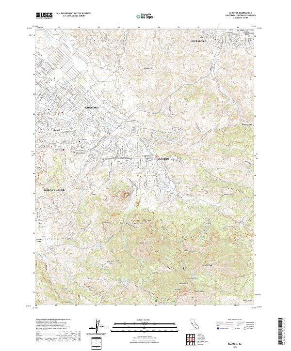
2021 Map of Clayton
USGS Topo · Published 2021About this map
Mount Diablo dominates the southern landscape of this Contra Costa County survey, its prominent peaks and ridges defining the topography of the Diablo Range. The transition from urban development to protected wilderness is clear as the residential grids of Concord and Walnut Creek give way to the complex canyon systems of the state park. Historical mining legacies are preserved in the northeast near Nortonville, where the Black Diamond Trl and Nortonville Trl trace old corridors through the hills.
Find a feature on this map
100 named features on this map. Tap any name to fly to it.
Don’t see what you’re looking for? This feature index may not catch every label — zoom into the map to look around manually.
Map Details
Editions of this 2021 Clayton Map
This is the sole edition of this map. No revisions or reprints were ever made.
Other maps of this area

1896 · Carquinez Strait
USGS Topo · 1:62,500

1896 · Mt. Diablo
USGS Topo · 1:62,500

1897 · Concord
USGS Topo · 1:62,500

1898 · Karquines
USGS Topo · 1:62,500

1898 · Mt. Diablo
USGS Topo · 1:62,500

1901 · Karquines
USGS Topo · 1:62,500

1902 · Napa
USGS Topo · 1:125,000

1907 · Antioch
USGS Topo · 1:62,500

1908 · Antioch
USGS Topo · 1:62,500

1915 · Concord
USGS Topo · 1:62,500