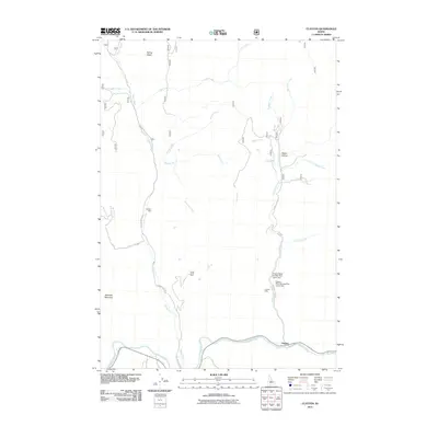
2011 Map of Clayton
USGS Topo · Published 2011About this map
The Salmon River flows along the southern edge of this Idaho mountain landscape, where the small settlement of Clayton serves as the focal point for local industry and transport. Mining activity is central to the area's history, evidenced by the extensive Clayton Mine complex situated along the Kinnikinic Creek Rd. This site includes technical infrastructure such as the Clayton Mine Number One-Upper Dam and Clayton Mine Number Two-Lower Dam, illustrating the scale of operations required for mineral extraction in the region's steep drainages.
Find a feature on this map
27 named features on this map. Tap any name to fly to it.
Don’t see what you’re looking for? This feature index may not catch every label — zoom into the map to look around manually.
Map Details
Editions of this 2011 Clayton Map
This is the sole edition of this map. No revisions or reprints were ever made.
Other maps of this area
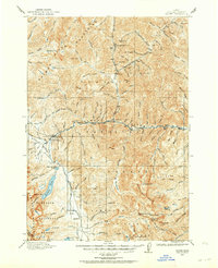
1919 · Custer
USGS Topo · 1:125,000
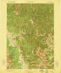
1922 · Custer
USGS Topo · 1:125,000
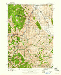
1929 · Bayhorse
USGS Topo · 1:125,000
1957 · Challis
USGS Topo · 1:250,000
1960 · Challis
USGS Topo · 1:250,000
1963 · Challis
USGS Topo · 1:250,000
1963 · Bald Mountain
USGS Topo · 1:24,000
1963 · Bayhorse Lake
USGS Topo · 1:24,000
1963 · Elevenmile Creek
USGS Topo · 1:24,000
1963 · Bayhorse
USGS Topo · 1:24,000