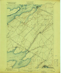
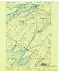
1903 Map of Clayton
USGS Topo · Published 1918About this map
The St. Lawrence River forms a dominant international boundary at the northern edge of this Jefferson County landscape, where the Dominion of Canada United States border threads between Wolfe Island and the mainland. The village of Clayton serves as a primary rail terminus for the New York Central & Hudson River R.R. Clayton Branch, while the Cape Vincent Branch services the southern settlements of Chaumont and Threemile Bay.
Find a feature on this map
51 named features on this map. Tap any name to fly to it.
Don’t see what you’re looking for? This feature index may not catch every label — zoom into the map to look around manually.
Map Details
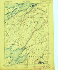
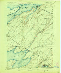
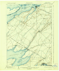
Editions of this 1903 Clayton Map
6 editions found
Other maps of this area

1893 · Sackets Harbor
USGS Topo · 1:62,500

1895 · Sacketts Harbor
USGS Topo · 1:62,500

1895 · Stony Island
USGS Topo · 1:62,500

1895 · Watertown
USGS Topo · 1:62,500

1895 · Cape Vincent
USGS Topo · 1:62,500

1898 · Watertown
USGS Topo · 1:62,500

1900 · Clayton
USGS Topo · 1:62,500

1903 · Grindstone
USGS Topo · 1:62,500

1903 · Clayton
USGS Topo · 1:62,500

1903 · Alexandria Bay
USGS Topo · 1:62,500