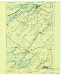
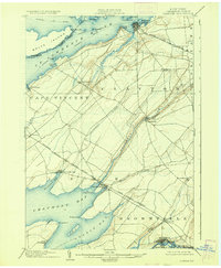
1903 Map of Clayton
USGS Topo · Published 1941About this map
The St. Lawrence River dominates this turn-of-the-century landscape, peppered with islands like Washington I. and Calumet I. near the busy hub of Clayton. This 1900 survey illustrates a region defined by its waterfronts and rail connections, where the New York Central & Hudson River R.R. Clayton Branch and the Cape Vincent Branch link lakeside communities. Further south, the map reveals the complex shoreline of Chaumont Bay, reaching past Pt. Salubrious and Pt. Independence toward the inland village of Chaumont. The interior is crisscrossed by waterways such as the Chaumont River and French Creek, supporting a network of small settlements including Depauville and Limerick. Near the southern edge at the Black River, the presence of the Black River Traction Co. Electric R.R. at Dexter signals the early 20th-century expansion of interurban transit.
Find a feature on this map
49 named features on this map. Tap any name to fly to it.
Don’t see what you’re looking for? This feature index may not catch every label — zoom into the map to look around manually.
Map Details
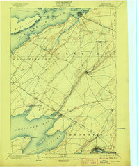
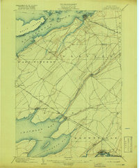
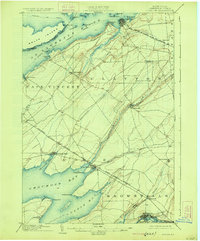
Editions of this 1903 Clayton Map
6 editions found
Other maps of this area

1893 · Sackets Harbor
USGS Topo · 1:62,500

1895 · Sacketts Harbor
USGS Topo · 1:62,500

1895 · Stony Island
USGS Topo · 1:62,500

1895 · Watertown
USGS Topo · 1:62,500

1895 · Cape Vincent
USGS Topo · 1:62,500

1898 · Watertown
USGS Topo · 1:62,500

1900 · Clayton
USGS Topo · 1:62,500

1903 · Grindstone
USGS Topo · 1:62,500

1903 · Clayton
USGS Topo · 1:62,500

1903 · Alexandria Bay
USGS Topo · 1:62,500