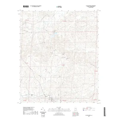
2020 Map of Clayton North
USGS Topo · Published 2020About this map
Clayton serves as the focal point of this Barbour County landscape, anchored by the Barbour County Courthouse and its surrounding street grid. The town's historical geography is deeply rooted in local family and community sites, evidenced by the presence of the Clayton Cem, Mount Olive Cem, Jacksonville Cem, and Blair Cem. These locations, along with landmarks like Kennedy Hill and Graveyard Hill, provide essential reference points for genealogical research and local history studies in this part of Alabama.
Find a feature on this map
62 named features on this map. Tap any name to fly to it.
Don’t see what you’re looking for? This feature index may not catch every label — zoom into the map to look around manually.
Map Details
Editions of this 2020 Clayton North Map
This is the sole edition of this map. No revisions or reprints were ever made.
Other maps of this area

1953 · Dothan
USGS Topo · 1:250,000

1954 · Dothan
USGS Topo · 1:250,000

1955 · Dothan
USGS Topo · 1:250,000

1955 · Phenix City
USGS Topo · 1:250,000

1957 · Phenix City
USGS Topo · 1:250,000

1958 · Phenix City
USGS Topo · 1:250,000

1967 · Clayton South
USGS Topo · 1:24,000

1968 · Baker Hill
USGS Topo · 1:24,000

1968 · White Oak
USGS Topo · 1:24,000

1968 · Clayton North
USGS Topo · 1:24,000