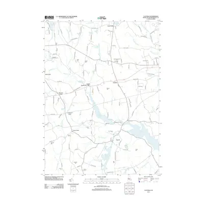
2012 Map of Clayville
USGS Topo · Published 2012About this map
The Swamp Meadow Covered Bridge spans Hemlock Brook, standing as a prominent landmark in a landscape defined by its complex network of water storage and small rural villages. This part of Rhode Island is characterized by the expansive Scituate Reservoir and several smaller impoundments like Barden Reservoir and Westconnaug Reservoir, which dominate the eastern and southern terrain. Small historic settlements such as Foster Center, Clayville, and Hopkins Mills are linked by winding roads that follow the topography of hills like Bennett Hill and Chopmist Hill. Genealogists will find numerous family and local burial sites preserved on the landscape, including Phillips Cem, Hopkins Cem, and Sandy Brook Cem, which anchor the contemporary road network to the area's agricultural past.
Find a feature on this map
132 named features on this map. Tap any name to fly to it.
Don’t see what you’re looking for? This feature index may not catch every label — zoom into the map to look around manually.
Map Details
Editions of this 2012 Clayville Map
This is the sole edition of this map. No revisions or reprints were ever made.
Other maps of this area

1889 · Putnam
USGS Topo · 1:62,500

1889 · Burrillville
USGS Topo · 1:62,500

1889 · Moosup
USGS Topo · 1:62,500

1890 · Kent
USGS Topo · 1:62,500

1893 · Putnam
USGS Topo · 1:62,500

1893 · Moosup
USGS Topo · 1:62,500

1894 · Burrillville
USGS Topo · 1:62,500

1894 · Kent
USGS Topo · 1:62,500

1915 · Burrillville
USGS Topo · 1:62,500

1919 · Putnam
USGS Topo · 1:62,500