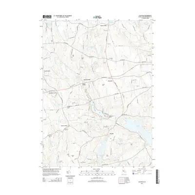
2015 Map of Clayville
USGS Topo · Published 2015About this map
Barden Reservoir and the massive Scituate Reservoir system dominate the local geography, reflecting the 20th-century transformation of this landscape to support regional water needs. The village of Clayville sits at the nexus of these waters, while the Swamp Meadow Covered Bridge provides a tangible link to traditional New England construction. The map details a network of rural settlements like Hopkins Mills and South Foster, where family histories are preserved in numerous burial grounds such as Phillips Cem and Sandy Brook Cem. The terrain is defined by a series of prominent elevations including Chopmist Hill and Pray Hill, which overlook a dense network of brooks like Dolly Cole Brook and Huntinghouse Brook. This survey reveals how older agricultural centers like Foster Center have persisted alongside the massive infrastructure projects that reshaped the Providence County interior.
Find a feature on this map
125 named features on this map. Tap any name to fly to it.
Don’t see what you’re looking for? This feature index may not catch every label — zoom into the map to look around manually.
Map Details
Editions of this 2015 Clayville Map
This is the sole edition of this map. No revisions or reprints were ever made.
Other maps of this area

1889 · Putnam
USGS Topo · 1:62,500

1889 · Burrillville
USGS Topo · 1:62,500

1889 · Moosup
USGS Topo · 1:62,500

1890 · Kent
USGS Topo · 1:62,500

1893 · Putnam
USGS Topo · 1:62,500

1893 · Moosup
USGS Topo · 1:62,500

1894 · Burrillville
USGS Topo · 1:62,500

1894 · Kent
USGS Topo · 1:62,500

1915 · Burrillville
USGS Topo · 1:62,500

1919 · Putnam
USGS Topo · 1:62,500