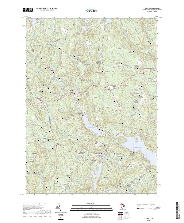
2024 Map of Clayville
USGS Topo · Published 2024About this map
The town of Clayville and the surrounding villages of Foster Center and North Foster are defined by a high density of ancestral family burial grounds. Dozens of small, family-named plots like the Gardiner Buffington Lot, the Stephen Williams Lot Cem, and the Asaph Wilder Burial Ground are scattered across the landscape, providing an extraordinary resource for genealogical mapping in Providence County. The terrain is marked by significant hydrological features, including the sprawling Scituate Reservoir, Barden Reservoir, and the Westconnaug Reservoir, which dominate the eastern and southern portions of the quadrangle. These water bodies are fed by numerous small streams such as Allan Richard Brook and Ponaganset River, flowing around prominent elevations like Chopmist Hill and Pray Hill. Major historic thoroughfares, including the Hartford Pike and Danielson Pike, intersect at Chopmist, reflecting the area's long-standing role as a crossroads in rural Rhode Island.
Find a feature on this map
209 named features on this map. Tap any name to fly to it.
Don’t see what you’re looking for? This feature index may not catch every label — zoom into the map to look around manually.
Map Details
Editions of this 2024 Clayville Map
This is the sole edition of this map. No revisions or reprints were ever made.
Other maps of this area

1889 · Putnam
USGS Topo · 1:62,500

1889 · Burrillville
USGS Topo · 1:62,500

1889 · Moosup
USGS Topo · 1:62,500

1890 · Kent
USGS Topo · 1:62,500

1893 · Putnam
USGS Topo · 1:62,500

1893 · Moosup
USGS Topo · 1:62,500

1894 · Burrillville
USGS Topo · 1:62,500

1894 · Kent
USGS Topo · 1:62,500

1915 · Burrillville
USGS Topo · 1:62,500

1919 · Putnam
USGS Topo · 1:62,500