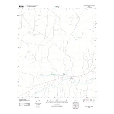
2010 Map of Clear Creek Lake
USGS Topo · Published 2010About this map
Beyer Crossing sits at a strategic point along the San Saba River in Menard County, where several drainages converge in this Central Texas landscape. The southern portion of the sheet is defined by the winding river and its tributaries, including Fields Creek and Bois D'Arc Creek. This water-focused geography is anchored by the reservoir of Clear Creek Lake, held by the Clear Creek Lake Dam.
Find a feature on this map
25 named features on this map. Tap any name to fly to it.
Don’t see what you’re looking for? This feature index may not catch every label — zoom into the map to look around manually.
Map Details
Editions of this 2010 Clear Creek Lake Map
This is the sole edition of this map. No revisions or reprints were ever made.
Other maps of this area

1892 · San Angelo
USGS Topo · 1:125,000

1892 · Eden
USGS Topo · 1:125,000

1893 · Fort McKavett
USGS Topo · 1:125,000

1896 · Eden
USGS Topo · 1:125,000

1954 · Brownwood
USGS Topo · 1:250,000

1954 · Llano
USGS Topo · 1:250,000

1954 · Sonora
USGS Topo · 1:250,000

1954 · San Angelo
USGS Topo · 1:250,000

1955 · Llano
USGS Topo · 1:250,000

1956 · Llano
USGS Topo · 1:250,000