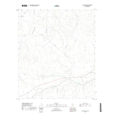
2019 Map of Clear Creek Lake
USGS Topo · Published 2019About this map
The San Saba River defines the southern reach of this Menard County landscape, carved by a network of drainage systems including Clear Cr and Rocky Cr. This part of the Edwards Plateau is characterized by its complex hydrology, with ephemeral streams like Silver Mine Cr and reliable water sources such as Wilkinson Springs shaping the historical land use. Family legacies are anchored to the land at Waddell Cem and Ellis Cem, located near the intersection of pastoral roads and seasonal waterways. A transition from traditional ranching to modern subdivision is evident in labels like Frontier Acres W and Mesquite Springs Loop, while traditional transit is maintained along Silver Mine Rd and Four Mile Rd.
Find a feature on this map
26 named features on this map. Tap any name to fly to it.
Don’t see what you’re looking for? This feature index may not catch every label — zoom into the map to look around manually.
Map Details
Editions of this 2019 Clear Creek Lake Map
This is the sole edition of this map. No revisions or reprints were ever made.
Other maps of this area

1892 · San Angelo
USGS Topo · 1:125,000

1892 · Eden
USGS Topo · 1:125,000

1893 · Fort McKavett
USGS Topo · 1:125,000

1896 · Eden
USGS Topo · 1:125,000

1954 · Brownwood
USGS Topo · 1:250,000

1954 · Llano
USGS Topo · 1:250,000

1954 · Sonora
USGS Topo · 1:250,000

1954 · San Angelo
USGS Topo · 1:250,000

1955 · Llano
USGS Topo · 1:250,000

1956 · Llano
USGS Topo · 1:250,000