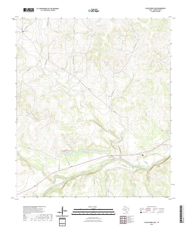
2022 Map of Clear Creek Lake
USGS Topo · Published 2022About this map
The San Saba River valley dominates this portion of Menard County, where the waterway creates a verdant corridor through the West Texas brush country. This landscape is defined by its drainage systems, including the spring-fed waters of Clear Creek and numerous intermittent streams like Silver Mine Cr and N Fork Dry Cr. The distribution of family-named infrastructure suggests a history of ranching and land tenure, with local burial grounds such as Waddell Cem and Ellis Cem providing vital points of reference for genealogists studying the area's rural residents. The terrain rises significantly away from the river, marked by landmarks like Wilkinson Springs and several creeks such as Fields Cr and Bois D'Arc Cr that feed into the larger river basin. Modern access is maintained through a network of local roads like Waddell Ln and Silver Mine Rd, which follow the contours of the limestone-ridged landscape.
Find a feature on this map
27 named features on this map. Tap any name to fly to it.
Don’t see what you’re looking for? This feature index may not catch every label — zoom into the map to look around manually.
Map Details
Editions of this 2022 Clear Creek Lake Map
This is the sole edition of this map. No revisions or reprints were ever made.
Other maps of this area

1892 · San Angelo
USGS Topo · 1:125,000

1892 · Eden
USGS Topo · 1:125,000

1893 · Fort McKavett
USGS Topo · 1:125,000

1896 · Eden
USGS Topo · 1:125,000

1954 · Brownwood
USGS Topo · 1:250,000

1954 · Llano
USGS Topo · 1:250,000

1954 · Sonora
USGS Topo · 1:250,000

1954 · San Angelo
USGS Topo · 1:250,000

1955 · Llano
USGS Topo · 1:250,000

1956 · Llano
USGS Topo · 1:250,000