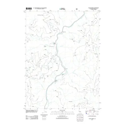
2012 Map of Clear Creek
USGS Topo · Published 2012About this map
The Klamath River carves a deep path through the northern California landscape, serving as the central artery for this remote portion of Siskiyou County. The settlement of Clear Creek sits near the confluence of its namesake stream and the main river, a primary point of human activity along Highway 96. The river's influence is evident in the named riverside features like Wingate Bar, Attebery Bar, and the historical crossing at Ferry Point.
Find a feature on this map
78 named features on this map. Tap any name to fly to it.
Don’t see what you’re looking for? This feature index may not catch every label — zoom into the map to look around manually.
Map Details
Editions of this 2012 Clear Creek Map
This is the sole edition of this map. No revisions or reprints were ever made.
Other maps of this area

1914 · Seiad
USGS Topo · 1:125,000

1922 · Preston Peak
USGS Topo · 1:125,000

1922 · Seiad
USGS Topo · 1:125,000

1948 · Weed
USGS Topo · 1:250,000

1950 · Weed
USGS Topo · 1:250,000

1955 · Dillon Mtn
USGS Topo · 1:62,500

1955 · Ukonom Lake
USGS Topo · 1:62,500

1956 · Happy Camp
USGS Topo · 1:62,500

1956 · Preston Peak
USGS Topo · 1:62,500

1958 · Weed
USGS Topo · 1:250,000