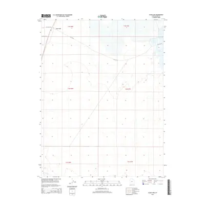
2014 Map of Clear Lake
USGS Topo · Published 2014About this map
Clear Lake sits in the high desert of Millard County, marking a vital water source in an otherwise arid landscape. This 2014 survey documents the area's hydrology and limited transport network, including the winding course of the Beaver River at the southern edge of the quadrangle. The namesake settlement of Clear Lake is situated at a junction near the northwestern corner, where Highway 257 Rd and Pot Mountain Rd converge. The interior of the map is defined by vast open stretches of the Sevier Desert, with several roads like Clear Lake Rd cutting across the survey lines of t19s r8w and t20s r7w. For researchers, the map provides a clear record of the intersection between the natural river systems and the established public land survey system grid in central Utah.
Find a feature on this map
12 named features on this map. Tap any name to fly to it.
Don’t see what you’re looking for? This feature index may not catch every label — zoom into the map to look around manually.
Map Details
Editions of this 2014 Clear Lake Map
This is the sole edition of this map. No revisions or reprints were ever made.
Other maps of this area

1885 · Beaver
USGS Topo · 1:250,000

1885 · Sevier Desert
USGS Topo · 1:250,000

1953 · Richfield
USGS Topo · 1:250,000

1953 · Delta
USGS Topo · 1:250,000

1958 · Richfield
USGS Topo · 1:250,000

1958 · Delta
USGS Topo · 1:250,000

1962 · Delta
USGS Topo · 1:250,000

1962 · Tabernacle Hill
USGS Topo · 1:62,500

1971 · Pavant Butte North
USGS Topo · 1:24,000

1971 · Neels
USGS Topo · 1:24,000