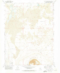
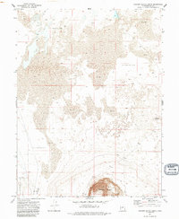
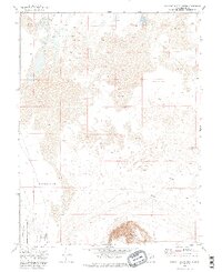
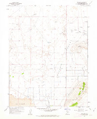
1971 Map of Pavant Butte North
USGS Topo · Published 1974About this map
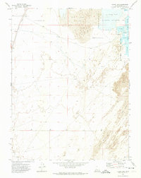
Pavant Butte dominates the southern landscape of this Millard County survey, rising above a terrain characterized by extensive alkali and alluvial deposits. The map captures a unique geological and ecological crossroads where the Cinder Cone and the prominence of Knobby punctuate the vast, low-lying Mud flats and Depressions of the Sevier Desert. To the southwest, the Clear Lake Waterfowl Management Area, also marked by the acronym Clwma, highlights the importance of the region's managed wetlands and water resources like Mud Springs. A network of simple transportation, including a Jeep Trail, provides the primary means of navigating this remote part of the Great Basin, reflecting the land's primary use for wildlife conservation and geological study in the early 1970s.
Find a feature on this map
10 named features on this map. Tap any name to fly to it.
Don’t see what you’re looking for? This feature index may not catch every label — zoom into the map to look around manually.
Map Details
Editions of this 1971 Pavant Butte North Map
3 editions found
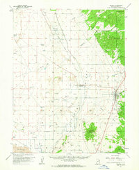
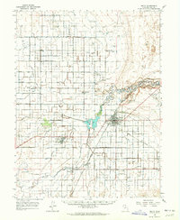
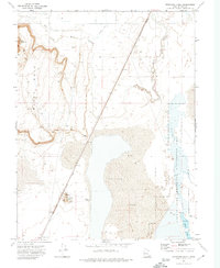
Other maps of this area

1885 · Sevier Desert
USGS Topo · 1:250,000
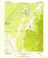
1951 · Oak City
USGS Topo · 1:62,500

1953 · Delta
USGS Topo · 1:250,000

1958 · Delta
USGS Topo · 1:250,000

1962 · Delta
USGS Topo · 1:250,000
1962 · The Sink
USGS Topo · 1:24,000
1962 · Holden
USGS Topo · 1:62,500
1962 · Delta
USGS Topo · 1:62,500
1971 · Sunstone Knoll
USGS Topo · 1:24,000
1971 · Clear Lake
USGS Topo · 1:24,000