
1962 Map of Delta
USGS Topo · Published 1964About this map
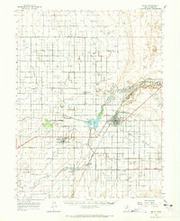
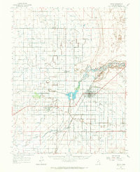
Agricultural life in Central Utah's Sevier Desert centers on the town of Delta, where the Union Pacific railroad and a complex network of irrigation ditches define the landscape. The Sevier River feeds the Gunnison Bend Reservoir, supporting a wide-reaching system of canals including the Lowline Canal and Pacific Canal that reach out toward smaller communities like Sutherland, Abraham, and Sugarville.
Find a feature on this map
42 named features on this map. Tap any name to fly to it.
Don’t see what you’re looking for? This feature index may not catch every label — zoom into the map to look around manually.
Map Details
Editions of this 1962 Delta Map
3 editions found
Other maps of this area

1885 · Sevier Desert
USGS Topo · 1:250,000

1951 · Oak City
USGS Topo · 1:62,500

1953 · Delta
USGS Topo · 1:250,000

1958 · Delta
USGS Topo · 1:250,000

1962 · Delta
USGS Topo · 1:250,000

1962 · Lynndyl
USGS Topo · 1:62,500

1962 · Holden
USGS Topo · 1:62,500

1971 · Smelter Knolls East
USGS Topo · 1:24,000

1971 · Baker Hot Springs
USGS Topo · 1:24,000

1971 · Pavant Butte North
USGS Topo · 1:24,000