
1971 Map of Sunstone Knoll
USGS Topo · Published 1974About this map
Sunstone Knoll rises above the basin floor in this 1971 survey of Millard County, marking a stark volcanic landmark in a landscape defined by the remnants of prehistoric water systems. The Union Pacific line cuts a straight northeast-southwest path across the terrain, passing through the small outpost at Van and skirting the edge of the vast Mud Depression. This arid basin features the meandering path of the Old Sevier River Channel, which illustrates the shifting drainage patterns of the desert. To the west, the dark volcanic flows of Black Rock and the distinct profile of the Great Stone Face provide rugged topographical contrast to the low-lying wetlands. The southern reaches of the map are dominated by the Clear Lake Waterfowl Management Area, where the presence of a Borrow Pit and a Prospect indicate localized efforts to extract materials from the volcanic and alluvial deposits.
Find a feature on this map
14 named features on this map. Tap any name to fly to it.
Don’t see what you’re looking for? This feature index may not catch every label — zoom into the map to look around manually.
Map Details
Editions of this 1971 Sunstone Knoll Map
This is the sole edition of this map. No revisions or reprints were ever made.
Other maps of this area

1885 · Sevier Desert
USGS Topo · 1:250,000

1953 · Delta
USGS Topo · 1:250,000

1958 · Delta
USGS Topo · 1:250,000

1962 · Delta
USGS Topo · 1:250,000

1962 · Delta
USGS Topo · 1:62,500

1971 · Pavant Butte North
USGS Topo · 1:24,000

1971 · Neels
USGS Topo · 1:24,000
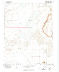
1971 · Pot Mountain
USGS Topo · 1:24,000
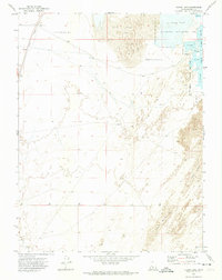
1971 · Clear Lake
USGS Topo · 1:24,000
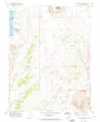
1971 · Pavant Butte South
USGS Topo · 1:24,000