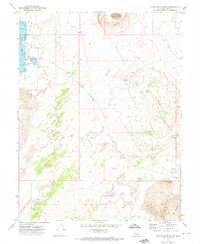
1971 Map of Pavant Butte South
USGS Topo · Published 1974About this map
Pavant Butte dominates the northern horizon of this landscape, a prominent volcanic feature surrounded by extensive Sand Dunes and fields of Lava. To the west, the Clear Lake Waterfowl Management Area introduces a vital riparian environment, anchored by Spring Lake and its associated Headquarters and Dam. This 1970s survey captures a terrain defined by stark geological transitions and managed water resources in the eastern Great Basin.
Find a feature on this map
21 named features on this map. Tap any name to fly to it.
Don’t see what you’re looking for? This feature index may not catch every label — zoom into the map to look around manually.
Map Details
Editions of this 1971 Pavant Butte South Map
2 editions found
Other maps of this area

1885 · Beaver
USGS Topo · 1:250,000

1885 · Sevier Desert
USGS Topo · 1:250,000

1953 · Richfield
USGS Topo · 1:250,000

1953 · Delta
USGS Topo · 1:250,000

1958 · Richfield
USGS Topo · 1:250,000

1958 · Delta
USGS Topo · 1:250,000

1960 · Meadow
USGS Topo · 1:24,000

1962 · Delta
USGS Topo · 1:250,000

1962 · Fillmore
USGS Topo · 1:62,500
1962 · The Sink
USGS Topo · 1:24,000