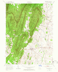
1955 Map of Clear Spring
USGS Topo · Published 1966About this map
The Punchbowl and the dramatic ridgelines of Two Top Mountain dominate the topography of this Maryland-Pennsylvania borderlands region. In the mid-1950s, the community of Clear Spring serves as a central hub along the historic National Road, supported by the Clear Spring High Sch and Rose Hill Cem. The landscape is a study in ridge-and-valley geography, where the Mason and Dixon Line cuts across steep elevations like Sword Mountain and Rickard Mountain.
Find a feature on this map
50 named features on this map. Tap any name to fly to it.
Don’t see what you’re looking for? This feature index may not catch every label — zoom into the map to look around manually.
Map Details
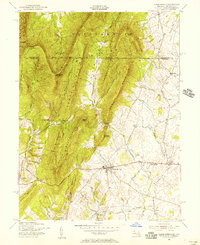
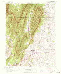
Editions of this 1955 Clear Spring Map
3 editions found
Other maps of this area

1899 · Hancock
USGS Topo · 1:62,500

1900 · Mercersburg
USGS Topo · 1:62,500

1901 · Hancock
USGS Topo · 1:62,500

1902 · Mercersburg
USGS Topo · 1:62,500

1912 · Williamsport
USGS Topo · 1:62,500

1925 · Needmore
USGS Topo · 1:48,000

1935 · Needmore
USGS Topo · 1:62,500

1939 · Needmore
USGS Topo · 1:62,500

1942 · Hagerstown
USGS Topo · 1:125,000

1943 · Hagerstown
USGS Topo · 1:125,000