
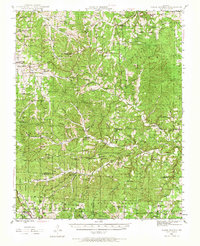
1945 Map of Clear Springs
USGS Topo · Published 1963About this map
Solo, Tyrone, and Clear Springs center this 1945 survey of the Missouri Ozarks, a landscape defined by its deep hollows and the headwaters of the Jacks Fork river system. The settlement pattern is distinctly rural, with community life anchored by numerous country churches such as Steely Chapel, Dutch Ch, and Freedom Ch. Education was similarly decentralized, as evidenced by the distribution of small local schools like Greenhill Sch, Nogle Sch, and Wofford Sch.
Find a feature on this map
82 named features on this map. Tap any name to fly to it.
Don’t see what you’re looking for? This feature index may not catch every label — zoom into the map to look around manually.
Map Details
Editions of this 1945 Clear Springs Map
2 editions found
Other maps of this area

1932 · Cedar Grove
USGS Topo · 1:48,000

1939 · Topaz
USGS Topo · 1:62,500

1941 · Topaz
USGS Topo · 1:62,500

1941 · Bado
USGS Topo · 1:62,500

1943 · Bado
USGS Topo · 1:62,500

1945 · Harrison
USGS Topo · 1:250,000

1945 · Willow Springs
USGS Topo · 1:62,500

1945 · Montier
USGS Topo · 1:62,500

1946 · Summersville
USGS Topo · 1:62,500

1948 · Clear Springs
USGS Topo · 1:62,500