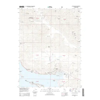
2015 Map of Clearlake Oaks
USGS Topo · Published 2015About this map
The northeastern shores of Clear Lake define this 2015 study, where the waterside communities of Clearlake Oaks and Glenhaven meet the rising elevations of the Coast Ranges. This modern topographical record shows the intricate canal development at Clear Lake Keys and the residential expansion along Glenhaven Dr and Harvey Blvd. Beyond the shoreline, the terrain climbs sharply toward the southern reaches of the Mendocino National Forest, carved by drainages like Schindler Cr and Long Valley Cr.
Find a feature on this map
77 named features on this map. Tap any name to fly to it.
Don’t see what you’re looking for? This feature index may not catch every label — zoom into the map to look around manually.
Map Details
Editions of this 2015 Clearlake Oaks Map
This is the sole edition of this map. No revisions or reprints were ever made.
Other maps of this area

1921 · Kelseyville
USGS Topo · 1:62,500

1924 · Bartlett Springs
USGS Topo · 1:62,500

1938 · Lakeport
USGS Topo · 1:62,500

1942 · Bartlett Springs
USGS Topo · 1:62,500

1943 · Kelseyville
USGS Topo · 1:62,500

1944 · Bartlett Springs
USGS Topo · 1:62,500

1945 · Lower Lake
USGS Topo · 1:62,500

1947 · Santa Rosa
USGS Topo · 1:250,000

1949 · Santa Rosa
USGS Topo · 1:250,000

1951 · Lakeport
USGS Topo · 1:62,500