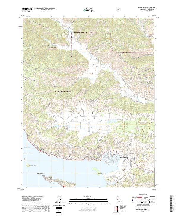
2021 Map of Clearlake Oaks
USGS Topo · Published 2021About this map
The northeastern shoreline of Clear Lake defines this landscape, where the settlements of Clearlake Oaks, Glenhaven, and Indian Beach cling to the waterfront beneath the rising elevation of the California Coast Ranges. The topography transitions sharply from the lake's surface to the interior ridges of the Mendocino National Forest, characterized by numerous canyons such as Sulphur Canyon and Bald Hill Canyon. Notable landforms along the water include Sulphur Bank Point, Paradise Point, and several islands like Rattlesnake Island and Stubbs Island. Inland, the geography is marked by the broad High Valley and Long Valley, which are drained by Schindler Cr and Long Valley Cr. This modern survey details the complex network of local roads and fire trails, including Co Rd 221 and High Valley Rd, that navigate the steep terrain between the lake and summits like Evans Peak.
Find a feature on this map
89 named features on this map. Tap any name to fly to it.
Don’t see what you’re looking for? This feature index may not catch every label — zoom into the map to look around manually.
Map Details
Editions of this 2021 Clearlake Oaks Map
This is the sole edition of this map. No revisions or reprints were ever made.
Other maps of this area

1921 · Kelseyville
USGS Topo · 1:62,500

1924 · Bartlett Springs
USGS Topo · 1:62,500

1938 · Lakeport
USGS Topo · 1:62,500

1942 · Bartlett Springs
USGS Topo · 1:62,500

1943 · Kelseyville
USGS Topo · 1:62,500

1944 · Bartlett Springs
USGS Topo · 1:62,500

1945 · Lower Lake
USGS Topo · 1:62,500

1947 · Santa Rosa
USGS Topo · 1:250,000

1949 · Santa Rosa
USGS Topo · 1:250,000

1951 · Lakeport
USGS Topo · 1:62,500