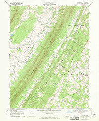
1967 Map of Clearville
USGS Topo · Published 1970About this map
Tussey Mountain and Warrior Ridge dominate this section of Bedford County, creating a series of narrow, parallel valleys defined by the ridge-and-valley Appalachians. Small farming settlements like Ott Town, Koontzville, and the village of Clearville are tucked into these drainages, connected by winding roads that follow the contours of the land. The presence of numerous country churches, including St Marks Ch and Union Ch, along with the Mann Monroe Sch, reflects a dispersed rural community structure common in Pennsylvania during the mid-20th century. The landscape is heavily wooded, much of it preserved within the Tussey Mountain State Game Lands No 97 and Buchanan State Forest. Interesting local hydronyms such as Milk and Water Creek and Bone Yard Hol suggest a deep-rooted naming tradition tied to the topography and early land use of the area.
Find a feature on this map
48 named features on this map. Tap any name to fly to it.
Don’t see what you’re looking for? This feature index may not catch every label — zoom into the map to look around manually.
Map Details
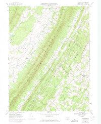
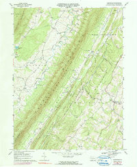
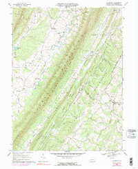
Editions of this 1967 Clearville Map
4 editions found
Other maps of this area

1900 · Everett
USGS Topo · 1:62,500

1902 · Everett
USGS Topo · 1:62,500

1908 · Bedford
USGS Topo · 1:62,500

1910 · Bedford
USGS Topo · 1:62,500

1927 · Clearville
USGS Topo · 1:48,000

1927 · Hyndman
USGS Topo · 1:62,500

1931 · Clearville
USGS Topo · 1:62,500

1931 · Hyndman
USGS Topo · 1:62,500

1944 · Hyndman
USGS Topo · 1:62,500

1944 · Clearville
USGS Topo · 1:62,500
Featured Places
- Colerain Township, PA
- Bedford Township, PA
- West Providence Township, PA
- Snake Spring Township, PA
- Koontzville, Colerain Township