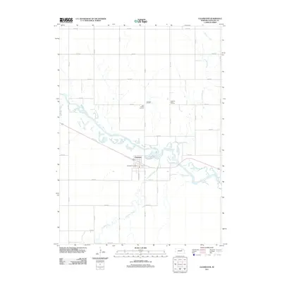
2011 Map of Clearwater
USGS Topo · Published 2011About this map
Clearwater serves as the focal point of this Antelope County landscape, situated where the broad curves of the Elkhorn River meet its tributaries. The village layout is defined by its proximity to the water and the Clearwater Post Office, which anchors the central district. A distinctive cluster of local history is preserved in the cemeteries north of the town center, including Saint Theresa Cemetery, Clearwater Cemetery, and the Latter Day Saints Cemetery, each situated along the section lines and River Rd. The surrounding terrain is meticulously organized by a grid of rural roads such as 854th Rd and 515th Ave, reflecting the enduring agricultural structure of the Nebraska plains. Waterways like Hackberry Creek and Clearwater Creek weave through the township, illustrating the drainage patterns that have historically shaped local land use and settlement south of the main river valley.
Find a feature on this map
28 named features on this map. Tap any name to fly to it.
Don’t see what you’re looking for? This feature index may not catch every label — zoom into the map to look around manually.
Map Details
Editions of this 2011 Clearwater Map
This is the sole edition of this map. No revisions or reprints were ever made.
Other maps of this area

1955 · O'Neill
USGS Topo · 1:250,000

1959 · O'Neill
USGS Topo · 1:250,000

1963 · Neligh
USGS Topo · 1:24,000

1963 · Neligh SE
USGS Topo · 1:24,000

1963 · Deloit
USGS Topo · 1:24,000

1963 · Neligh SW
USGS Topo · 1:24,000

1963 · Royal
USGS Topo · 1:24,000

1963 · Orchard
USGS Topo · 1:24,000

1963 · Ewing
USGS Topo · 1:24,000

1963 · Deloit NE
USGS Topo · 1:24,000