
1963 Map of Ewing
USGS Topo · Published 1964About this map
Ewing sits at the confluence of the Elkhorn River and the South Fork in this mid-century survey of the Nebraska sandhills region. The town serves as a vital transit hub, where the Chicago and North Western railroad follows the river valley. To the north, the Chicago Burlington and Quincy line cuts across the township of Verdigris, passing near Emporia Sch. The landscape is a patchwork of rural school districts and small burial grounds, such as School No 173 and St Peter Cem. Local governance and community life are anchored at the Townhall in Golden, while industrial activity is evidenced by scattered Gravel Pits and a Sewage Disposal plant near the river. Hydrological monitoring at the Gaging Station and the winding course of Dry Springs Creek reflect the importance of water management in this agricultural terrain.
Find a feature on this map
23 named features on this map. Tap any name to fly to it.
Don’t see what you’re looking for? This feature index may not catch every label — zoom into the map to look around manually.
Map Details
Editions of this 1963 Ewing Map
2 editions found
Other maps of this area

1955 · O'Neill
USGS Topo · 1:250,000

1958 · Page
USGS Topo · 1:24,000

1959 · O'Neill
USGS Topo · 1:250,000

1963 · Ewing SW
USGS Topo · 1:24,000

1963 · Venus
USGS Topo · 1:24,000

1963 · Orchard
USGS Topo · 1:24,000

1963 · Deloit NE
USGS Topo · 1:24,000
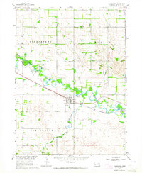
1963 · Clearwater
USGS Topo · 1:24,000

1963 · Deloit NW
USGS Topo · 1:24,000
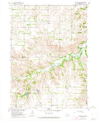
1963 · Orchard NW
USGS Topo · 1:24,000