1963 Map of Ewing
USGS Topo · Published 1986About this map
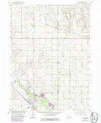
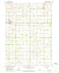
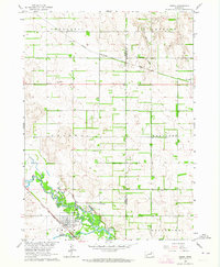
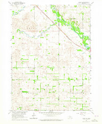
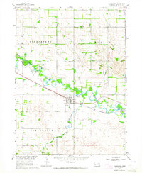
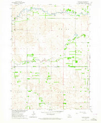
The Elkhorn River and its South Fork define the southern landscape of this Nebraska region, where the town of Ewing serves as a vital rail junction. The Chicago and North Western railway lines intersect near the riverbanks, while the Burlington Northern corridor runs through the northern reaches near Orchard. This 1963 survey, updated with 1980s revisions, illustrates a rural economy built around water access and transport, evidenced by the Gaging Station and various Gravel Pits dotting the terrain.
Find a feature on this map
16 named features on this map. Tap any name to fly to it.
Don’t see what you’re looking for? This feature index may not catch every label — zoom into the map to look around manually.
Map Details
Editions of this 1963 Ewing Map
2 editions found
Other maps of this area

1955 · O'Neill
USGS Topo · 1:250,000
1958 · Page
USGS Topo · 1:24,000

1959 · O'Neill
USGS Topo · 1:250,000
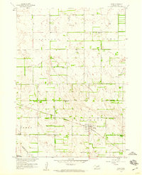
1963 · Ewing SW
USGS Topo · 1:24,000
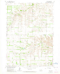
1963 · Venus
USGS Topo · 1:24,000
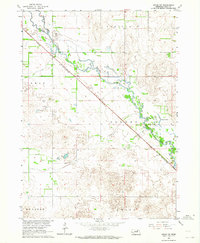
1963 · Orchard
USGS Topo · 1:24,000
1963 · Ewing
USGS Topo · 1:24,000
1963 · Deloit NE
USGS Topo · 1:24,000
1963 · Clearwater
USGS Topo · 1:24,000
1963 · Deloit NW
USGS Topo · 1:24,000