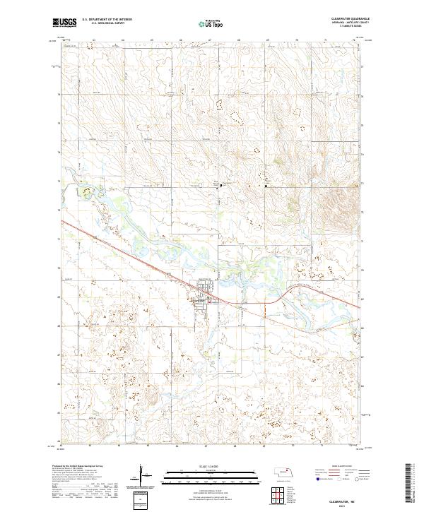
2021 Map of Clearwater
USGS Topo · Published 2021About this map
Clearwater serves as the central hub of this Antelope County landscape, situated where the Elkhorn River meets its namesake Clearwater Creek. The settlement pattern is defined by a rigid section-line road grid, including Frenchtown Rd and Summerland Rd, which gives way to the more fluid, winding paths of the river valley. Local history is anchored by several burial grounds positioned just north of the town center, including Saint Theresa Cem, Clearwater Cem, and All Saints Cem.
Find a feature on this map
49 named features on this map. Tap any name to fly to it.
Don’t see what you’re looking for? This feature index may not catch every label — zoom into the map to look around manually.
Map Details
Editions of this 2021 Clearwater Map
This is the sole edition of this map. No revisions or reprints were ever made.
Other maps of this area

1955 · O'Neill
USGS Topo · 1:250,000

1959 · O'Neill
USGS Topo · 1:250,000

1963 · Neligh
USGS Topo · 1:24,000

1963 · Neligh SE
USGS Topo · 1:24,000

1963 · Deloit
USGS Topo · 1:24,000

1963 · Neligh SW
USGS Topo · 1:24,000

1963 · Royal
USGS Topo · 1:24,000

1963 · Orchard
USGS Topo · 1:24,000

1963 · Ewing
USGS Topo · 1:24,000

1963 · Deloit NE
USGS Topo · 1:24,000