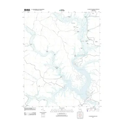
2011 Map of Clearwater Dam
USGS Topo · Published 2011About this map
Clearwater Dam controls the flow of the Black River in this part of Wayne County, forming the expansive Clearwater Lake that dominates the central terrain. The landscape is defined by a dense network of hollows and ridges, including Mail Route Hollow, McMillan Hollow, and Tanbark Hollow, which dictate the winding paths of local roads like Co RD 442. For genealogists and local historians, the map is a significant record of family-named sites and landmarks, preserving the locations of several burial grounds such as Murphy Cemetery, Buffington Cemetery, and Skiles Cemetery. The shoreline of the lake is marked by prominent natural features like Brown Bluff and Finley Bluff, while residential development appears along Bluffview Dr and Cottonwood Dr near the water's edge.
Find a feature on this map
76 named features on this map. Tap any name to fly to it.
Don’t see what you’re looking for? This feature index may not catch every label — zoom into the map to look around manually.
Map Details
Editions of this 2011 Clearwater Dam Map
This is the sole edition of this map. No revisions or reprints were ever made.
Other maps of this area

1926 · Des Arc
USGS Topo · 1:62,500

1929 · Des Arc
USGS Topo · 1:62,500

1932 · Piedmont
USGS Topo · 1:62,500

1935 · Piedmont
USGS Topo · 1:62,500

1943 · Ellington
USGS Topo · 1:62,500

1943 · Lesterville
USGS Topo · 1:62,500

1945 · Ellington
USGS Topo · 1:62,500

1946 · Lesterville
USGS Topo · 1:62,500

1949 · Rolla
USGS Topo · 1:250,000

1953 · Rolla
USGS Topo · 1:250,000