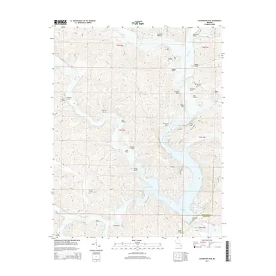
2015 Map of Clearwater Dam
USGS Topo · Published 2015About this map
Clearwater Lake and the engineering of the Clearwater Dam define the central landscape of this Wayne and Reynolds County borderland. The impoundment of the Black River has shaped the surrounding terrain, backing water into rugged drainage systems like Webb Creek and Goose Cr. This mid-2010s survey illustrates a region where local geography is tied to both the reservoir and the numerous bluffs and hollows that rise above the valley floor, such as Charlton Bluff and Brown Bluff.
Find a feature on this map
89 named features on this map. Tap any name to fly to it.
Don’t see what you’re looking for? This feature index may not catch every label — zoom into the map to look around manually.
Map Details
Editions of this 2015 Clearwater Dam Map
This is the sole edition of this map. No revisions or reprints were ever made.
Other maps of this area

1926 · Des Arc
USGS Topo · 1:62,500

1929 · Des Arc
USGS Topo · 1:62,500

1932 · Piedmont
USGS Topo · 1:62,500

1935 · Piedmont
USGS Topo · 1:62,500

1943 · Ellington
USGS Topo · 1:62,500

1943 · Lesterville
USGS Topo · 1:62,500

1945 · Ellington
USGS Topo · 1:62,500

1946 · Lesterville
USGS Topo · 1:62,500

1949 · Rolla
USGS Topo · 1:250,000

1953 · Rolla
USGS Topo · 1:250,000