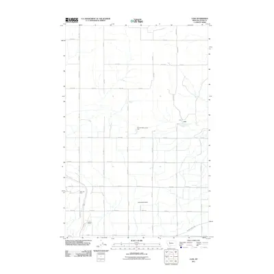
2011 Map of Cleiv
USGS Topo · Published 2011About this map
Greenfields Bench dominates this high-plains landscape in Teton County, where a complex irrigation network supports the region's agricultural vitality. The Greenfields Main Canal and smaller water features like Cleiv Spring illustrate the critical role of water management in this Montana environment. The settlement of Cleiv sits near the center of the grid-patterned road system, while localized infrastructure like the Manual Oakley Group Dam and Half-Pint Dam are vital local landmarks. In the southern portion of the map, Mt Highway 431 provides a primary transit link near the Fairfield Airport. This 2011 survey documents a landscape where traditional land use and modern aviation coexist, reflecting the steady development of rural Montana near the foothills.
Find a feature on this map
32 named features on this map. Tap any name to fly to it.
Don’t see what you’re looking for? This feature index may not catch every label — zoom into the map to look around manually.
Map Details
Editions of this 2011 Cleiv Map
This is the sole edition of this map. No revisions or reprints were ever made.
Other maps of this area

1886 · Great Falls
USGS Topo · 1:250,000

1920 · Choteau
USGS Topo · 1:125,000

1950 · Fairfield
USGS Topo · 1:62,500

1950 · Collins
USGS Topo · 1:62,500

1954 · Great Falls
USGS Topo · 1:250,000

1955 · Choteau
USGS Topo · 1:250,000

1957 · Choteau
USGS Topo · 1:250,000

1957 · Great Falls
USGS Topo · 1:250,000

1958 · Choteau
USGS Topo · 1:250,000

1960 · Choteau
USGS Topo · 1:62,500