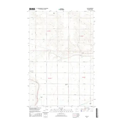
2017 Map of Cleiv
USGS Topo · Published 2017About this map
The high plains of Teton County are defined by distinct topographic levels such as Bole Bench and Greenfields Bench in this 2017 survey. The small settlement of Cleiv sits near the base of these rises, where Cleiv Spring provides a natural water source in an otherwise arid landscape dominated by the grid of the Public Land Survey System. The infrastructure of the region is built around large-scale irrigation and aviation, evidenced by the Greenfields Main Canal cutting across the Second Bench and the presence of the Fairfield Airport to the south. The road network follows a strict cardinal grid with designations like 1st Rd NE and Division Ln N, illustrating the systematic agricultural development of the Montana interior. This map captures the intersection of natural terrace formations and the engineered systems required to sustain local ranching and transit.
Find a feature on this map
33 named features on this map. Tap any name to fly to it.
Don’t see what you’re looking for? This feature index may not catch every label — zoom into the map to look around manually.
Map Details
Editions of this 2017 Cleiv Map
This is the sole edition of this map. No revisions or reprints were ever made.
Other maps of this area

1886 · Great Falls
USGS Topo · 1:250,000

1920 · Choteau
USGS Topo · 1:125,000

1950 · Fairfield
USGS Topo · 1:62,500

1950 · Collins
USGS Topo · 1:62,500

1954 · Great Falls
USGS Topo · 1:250,000

1955 · Choteau
USGS Topo · 1:250,000

1957 · Choteau
USGS Topo · 1:250,000

1957 · Great Falls
USGS Topo · 1:250,000

1958 · Choteau
USGS Topo · 1:250,000

1960 · Choteau
USGS Topo · 1:62,500