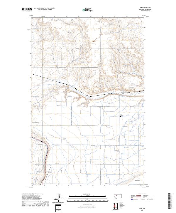
2024 Map of Cleiv
USGS Topo · Published 2024About this map
The agricultural plateaus of Teton County are defined by a series of geographic terraces, including Bole Bench, Greenfields Bench, and Second Bench. These level highlands are part of a managed hydraulic landscape where the Greenfields Main Canal provides the essential water infrastructure for local farming operations. The small settlement of Cleiv sits near the center of the sheet, adjacent to Cleiv Spring, representing the modest residential footprint in this section of the Montana plains.
Find a feature on this map
31 named features on this map. Tap any name to fly to it.
Don’t see what you’re looking for? This feature index may not catch every label — zoom into the map to look around manually.
Map Details
Editions of this 2024 Cleiv Map
This is the sole edition of this map. No revisions or reprints were ever made.
Other maps of this area

1886 · Great Falls
USGS Topo · 1:250,000

1920 · Choteau
USGS Topo · 1:125,000

1950 · Fairfield
USGS Topo · 1:62,500

1950 · Collins
USGS Topo · 1:62,500

1954 · Great Falls
USGS Topo · 1:250,000

1955 · Choteau
USGS Topo · 1:250,000

1957 · Choteau
USGS Topo · 1:250,000

1957 · Great Falls
USGS Topo · 1:250,000

1958 · Choteau
USGS Topo · 1:250,000

1960 · Choteau
USGS Topo · 1:62,500