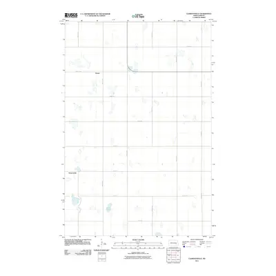
2011 Map of Clementsville
USGS Topo · Published 2011About this map
The settlement of Clementsville and the nearby locale of Durupt anchor this survey of the North Dakota prairie in the early 21st century. The landscape is defined by a rigorous section-line road grid, including 85th Ave SE and 28th St SE, which organizes the agricultural expanse. Numerous small prairie potholes and seasonal wetlands are scattered throughout the quadrangle, with Scotts Lake serving as the most prominent named water body in the southern portion of the township. This survey illustrates the enduring patterns of rural land use in Barnes County, where isolated farmsteads and small clusters of buildings are connected by a web of gravel routes such as 97th Ave SE and 24th St SE.
Find a feature on this map
17 named features on this map. Tap any name to fly to it.
Don’t see what you’re looking for? This feature index may not catch every label — zoom into the map to look around manually.
Map Details
Editions of this 2011 Clementsville Map
This is the sole edition of this map. No revisions or reprints were ever made.
Other maps of this area

1896 · Jamestown
USGS Topo · 1:125,000

1897 · Eckelson
USGS Topo · 1:125,000

1900 · Pingree
USGS Topo · 1:125,000

1951 · Spiritwood Lake
USGS Topo · 1:24,000

1951 · Courtenay
USGS Topo · 1:24,000

1952 · Bloom
USGS Topo · 1:24,000

1952 · New Rockford
USGS Topo · 1:250,000

1953 · Jamestown
USGS Topo · 1:250,000

1956 · New Rockford
USGS Topo · 1:250,000

1956 · Jamestown
USGS Topo · 1:250,000