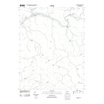
2011 Map of Clendenin
USGS Topo · Published 2011About this map
The Elk River winds through this section of Kanawha County, defining the location of historic riverfront settlements like Clendenin, Turner, and Corton. The topography is shaped by a dense network of hollows and ridges, including Mill Hollow, Schoolhouse Hollow, and Dry Ridge, which historically dictated the paths of travel and homesteading. Genealogists can trace family heritage through several localized burial sites such as Osborne Cemetery, Murdock Cemetery, and Hinkle Cemetery. This 2011 survey captures the area's transition into the early 21st century, showing modern infrastructure like the Queen Shoals Bridge alongside enduring landmarks such as the Corton Post Office. The map details the complex drainage systems of the Big Sandy Creek and Falling Rock Creek, illustrating how the waterway-rich landscape has long influenced the placement of communities like Reamer and Osborne.
Find a feature on this map
83 named features on this map. Tap any name to fly to it.
Don’t see what you’re looking for? This feature index may not catch every label — zoom into the map to look around manually.
Map Details
Editions of this 2011 Clendenin Map
This is the sole edition of this map. No revisions or reprints were ever made.
Other maps of this area

1897 · Kanawha Falls
USGS Topo · 1:125,000

1900 · Kanawha Falls
USGS Topo · 1:125,000

1901 · Kanawha Falls
USGS Topo · 1:125,000

1906 · Otter
USGS Topo · 1:62,500

1906 · Walton
USGS Topo · 1:62,500

1907 · Otter
USGS Topo · 1:62,500

1907 · Walton
USGS Topo · 1:62,500

1907 · Clendenin
USGS Topo · 1:62,500

1908 · Clay
USGS Topo · 1:48,000

1909 · Clendenin
USGS Topo · 1:62,500