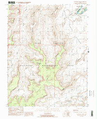
1988 Map of Cleopatras Chair
USGS Topo · Published 1988About this map
The Orange Cliffs define the topography of this high desert region in Wayne County, where the Green River carves through the northeastern corner at Stillwater Canyon. This 1988 survey illustrates the primitive transportation network of the era, dominated by 4wd tracks that provide the only access across the Benches and through the deep incisions of Millard Canyon.
Find a feature on this map
20 named features on this map. Tap any name to fly to it.
Don’t see what you’re looking for? This feature index may not catch every label — zoom into the map to look around manually.
Map Details
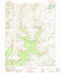
Editions of this 1988 Cleopatras Chair Map
2 editions found
Other maps of this area

1885 · San Rafael
USGS Topo · 1:250,000

1885 · La Sal
USGS Topo · 1:250,000

1951 · Upheaval Dome
USGS Topo · 1:62,500

1952 · Carlisle 2 NW
USGS Topo · 1:24,000

1952 · Carlisle 2 SW
USGS Topo · 1:24,000

1953 · Carlisle 3 NW
USGS Topo · 1:24,000

1953 · Orange Cliffs 1 SE
USGS Topo · 1:24,000

1953 · Orange Cliffs 4 NW
USGS Topo · 1:24,000

1953 · Orange Cliffs 4 NE
USGS Topo · 1:24,000

1953 · Orange Cliffs 1 NE
USGS Topo · 1:24,000