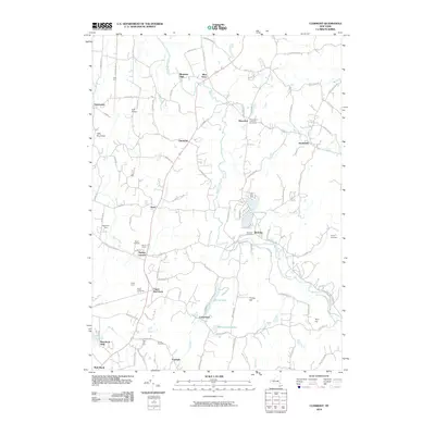
2010 Map of Clermont
USGS Topo · Published 2010About this map
Roeliff Jansen Kill winds through this landscape, defining a rural corridor between the older river-town peripheries and the rolling agricultural uplands. The settlement pattern is anchored by historic crossroads and industrial hamlets such as Bingham Mills, Blue Store, and Cokertown, which reflect the area's 19th-century roots in water-powered milling and localized commerce. Agricultural heritage remains prominent, marked by named family estates and specialized farms like Rider Farm, Mead Orchards, and Rose Hill Farm. Community life is centered at Saint John's Lutheran Cemetery in Manorton and the village of Elizaville, while the northern portion of Red Hook and Upper Red Hook show the continued persistence of established Hudson Valley hamlets. Numerous small water bodies, including Twin Lakes and Warackamac Lake, punctuate the terrain alongside landmarks like Little Roundtop.
Find a feature on this map
100 named features on this map. Tap any name to fly to it.
Don’t see what you’re looking for? This feature index may not catch every label — zoom into the map to look around manually.
Map Details
Editions of this 2010 Clermont Map
This is the sole edition of this map. No revisions or reprints were ever made.
Other maps of this area

1895 · Catskill
USGS Topo · 1:62,500

1898 · Rhinebeck
USGS Topo · 1:62,500

1899 · Millbrook
USGS Topo · 1:62,500

1902 · Millbrook
USGS Topo · 1:62,500

1902 · Copake
USGS Topo · 1:62,500

1904 · Copake
USGS Topo · 1:62,500

1934 · Rhinebeck
USGS Topo · 1:48,000

1934 · Catskill
USGS Topo · 1:62,500

1938 · Catskill
USGS Topo · 1:62,500

1939 · Rhinebeck
USGS Topo · 1:62,500