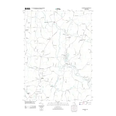
2013 Map of Clermont
USGS Topo · Published 2013About this map
Roeliff Jansen Kill winds through this Hudson Valley landscape, anchoring a network of small settlements and agricultural estates early in the twenty-first century. The map illustrates a region deeply shaped by its farming heritage, noted by several named orchards such as Rose Hill Farm and Mead Orchards, alongside the historical milling sites of Bingham Mills and Red Hook Mills. These labels suggest a long-standing continuity of land use that defines the character of northern Dutchess and southern Columbia counties.
Find a feature on this map
145 named features on this map. Tap any name to fly to it.
Don’t see what you’re looking for? This feature index may not catch every label — zoom into the map to look around manually.
Map Details
Editions of this 2013 Clermont Map
This is the sole edition of this map. No revisions or reprints were ever made.
Other maps of this area

1895 · Catskill
USGS Topo · 1:62,500

1898 · Rhinebeck
USGS Topo · 1:62,500

1899 · Millbrook
USGS Topo · 1:62,500

1902 · Millbrook
USGS Topo · 1:62,500

1902 · Copake
USGS Topo · 1:62,500

1904 · Copake
USGS Topo · 1:62,500

1934 · Rhinebeck
USGS Topo · 1:48,000

1934 · Catskill
USGS Topo · 1:62,500

1938 · Catskill
USGS Topo · 1:62,500

1939 · Rhinebeck
USGS Topo · 1:62,500