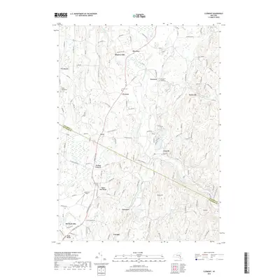
2019 Map of Clermont
USGS Topo · Published 2019About this map
Roeliff Jansen Kill winds through this Hudson Valley landscape, defining the rural character of the borderlands between Columbia and Dutchess counties. The settlement pattern is anchored by historic hamlets and intersections like Nevis, Blue Store, and Clermont, where legacy structures and community landmarks persist into the modern era. The presence of several historic burial grounds, including the Saint John's Lutheran Church Cem and the Elizaville Cem, provides critical anchor points for genealogists tracing family histories in the area.
Find a feature on this map
136 named features on this map. Tap any name to fly to it.
Don’t see what you’re looking for? This feature index may not catch every label — zoom into the map to look around manually.
Map Details
Editions of this 2019 Clermont Map
This is the sole edition of this map. No revisions or reprints were ever made.
Other maps of this area

1895 · Catskill
USGS Topo · 1:62,500

1898 · Rhinebeck
USGS Topo · 1:62,500

1899 · Millbrook
USGS Topo · 1:62,500

1902 · Millbrook
USGS Topo · 1:62,500

1902 · Copake
USGS Topo · 1:62,500

1904 · Copake
USGS Topo · 1:62,500

1934 · Rhinebeck
USGS Topo · 1:48,000

1934 · Catskill
USGS Topo · 1:62,500

1938 · Catskill
USGS Topo · 1:62,500

1939 · Rhinebeck
USGS Topo · 1:62,500